Archetype: Geospatial points with positions expressed in EPSG:4326 latitude and longitude (North/East-positive degrees), and optional colors and radii. More...
#include <rerun/archetypes/geo_points.hpp>
Public Member Functions | |
| GeoPoints (GeoPoints &&other)=default | |
| GeoPoints (const GeoPoints &other)=default | |
| GeoPoints & | operator= (const GeoPoints &other)=default |
| GeoPoints & | operator= (GeoPoints &&other)=default |
| GeoPoints (Collection< rerun::components::LatLon > _positions) | |
| GeoPoints | with_positions (const Collection< rerun::components::LatLon > &_positions) && |
| The EPSG:4326 coordinates for the points (North/East-positive degrees). | |
| GeoPoints | with_radii (const Collection< rerun::components::Radius > &_radii) && |
| Optional radii for the points, effectively turning them into circles. | |
| GeoPoints | with_colors (const Collection< rerun::components::Color > &_colors) && |
| Optional colors for the points. | |
| GeoPoints | with_class_ids (const Collection< rerun::components::ClassId > &_class_ids) && |
| Optional class Ids for the points. | |
| Collection< ComponentColumn > | columns (const Collection< uint32_t > &lengths_) |
| Partitions the component data into multiple sub-batches. | |
| Collection< ComponentColumn > | columns () |
| Partitions the component data into unit-length sub-batches. | |
Static Public Member Functions | |
| static GeoPoints | from_lat_lon (Collection< components::LatLon > positions_) |
| Creates a new GeoPoints object based on EPSG:4326 latitude and longitude (North/East-positive degrees). | |
| static GeoPoints | update_fields () |
Update only some specific fields of a GeoPoints. | |
| static GeoPoints | clear_fields () |
Clear all the fields of a GeoPoints. | |
Public Attributes | |
| std::optional< ComponentBatch > | positions |
| The EPSG:4326 coordinates for the points (North/East-positive degrees). | |
| std::optional< ComponentBatch > | radii |
| Optional radii for the points, effectively turning them into circles. | |
| std::optional< ComponentBatch > | colors |
| Optional colors for the points. | |
| std::optional< ComponentBatch > | class_ids |
| Optional class Ids for the points. | |
Static Public Attributes | |
| static constexpr const char | ArchetypeName [] = "rerun.archetypes.GeoPoints" |
The name of the archetype as used in ComponentDescriptors. | |
| static constexpr auto | Descriptor_positions |
ComponentDescriptor for the positions field. | |
| static constexpr auto | Descriptor_radii |
ComponentDescriptor for the radii field. | |
| static constexpr auto | Descriptor_colors |
ComponentDescriptor for the colors field. | |
| static constexpr auto | Descriptor_class_ids |
ComponentDescriptor for the class_ids field. | |
Detailed Description
Archetype: Geospatial points with positions expressed in EPSG:4326 latitude and longitude (North/East-positive degrees), and optional colors and radii.
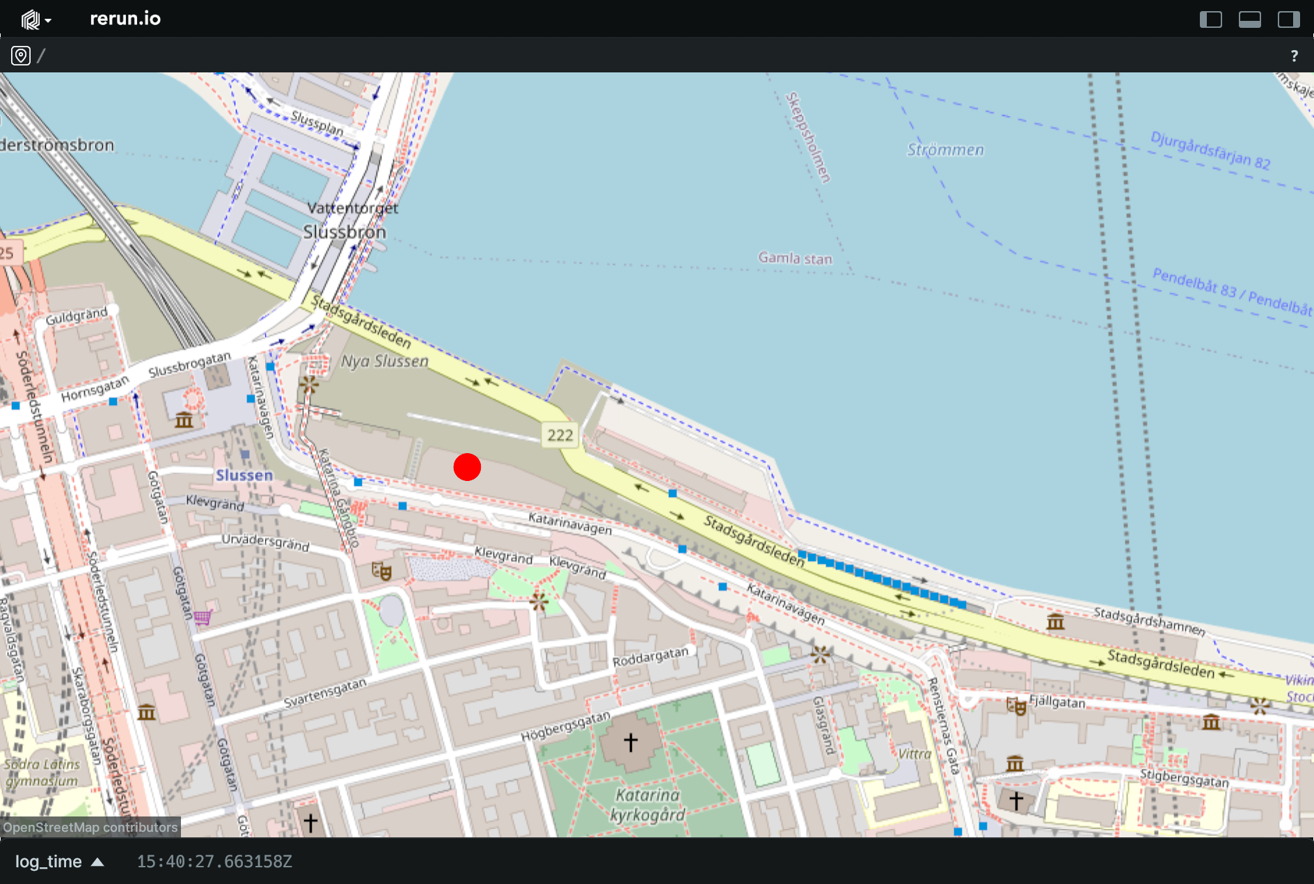
Example
Log a geospatial point
Member Function Documentation
◆ with_radii()
|
inline |
Optional radii for the points, effectively turning them into circles.
Note: scene units radiii are interpreted as meters.
◆ with_class_ids()
|
inline |
Optional class Ids for the points.
The components::ClassId provides colors if not specified explicitly.
◆ columns() [1/2]
| Collection< ComponentColumn > rerun::archetypes::GeoPoints::columns | ( | const Collection< uint32_t > & | lengths_ | ) |
Partitions the component data into multiple sub-batches.
Specifically, this transforms the existing ComponentBatch data into ComponentColumns instead, via ComponentBatch::partitioned.
This makes it possible to use RecordingStream::send_columns to send columnar data directly into Rerun.
The specified lengths must sum to the total length of the component batch.
◆ columns() [2/2]
| Collection< ComponentColumn > rerun::archetypes::GeoPoints::columns | ( | ) |
Partitions the component data into unit-length sub-batches.
This is semantically similar to calling columns with std::vector<uint32_t>(n, 1), where n is automatically guessed.
Member Data Documentation
◆ radii
| std::optional<ComponentBatch> rerun::archetypes::GeoPoints::radii |
Optional radii for the points, effectively turning them into circles.
Note: scene units radiii are interpreted as meters.
◆ class_ids
| std::optional<ComponentBatch> rerun::archetypes::GeoPoints::class_ids |
Optional class Ids for the points.
The components::ClassId provides colors if not specified explicitly.
◆ Descriptor_positions
|
staticconstexpr |
ComponentDescriptor for the positions field.
◆ Descriptor_radii
|
staticconstexpr |
ComponentDescriptor for the radii field.
◆ Descriptor_colors
|
staticconstexpr |
ComponentDescriptor for the colors field.
◆ Descriptor_class_ids
|
staticconstexpr |
ComponentDescriptor for the class_ids field.
The documentation for this struct was generated from the following file:
- rerun/archetypes/geo_points.hpp